How to read a house flip property survey before you waive
A property survey shows where a licensed surveyor placed the land you are buying and what sits on or over the lines. This guide shows a beginner how to name the sheet in the file, read it in a fixed order, match it to the objection deadline in the contract, and put a dollar number on a problem before waiving the right to object.
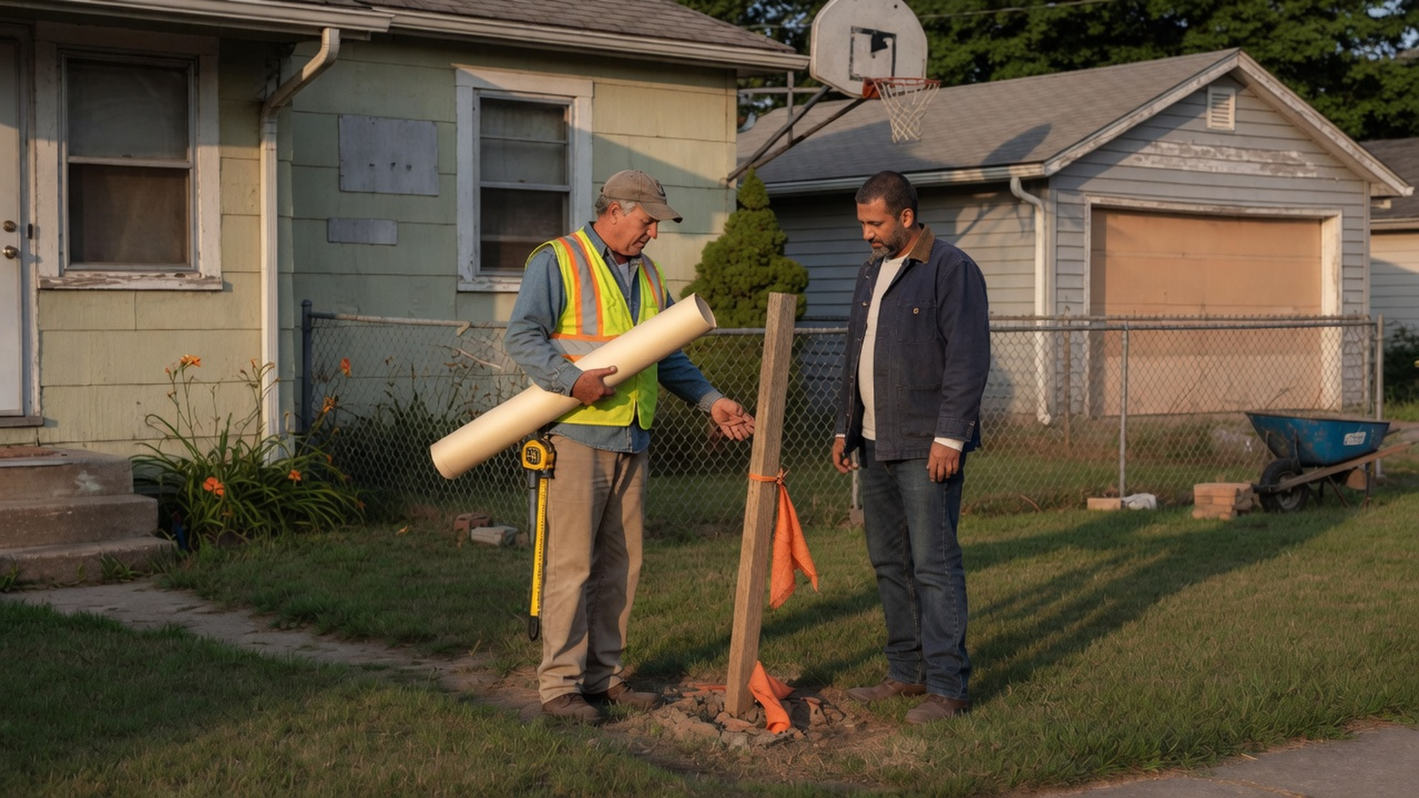
Written and reviewed by the Rehabfolio editorial team. Published and last reviewed October 12, 2026.
Who this guide is for. This guide is for United States residential investors buying a one-to-four-unit property they intend to renovate, then sell or hold. You already have a contract, or you are about to write the survey paragraph into an offer. The guide ends when you can say, in writing, that you will waive, object, or order a survey you do not have yet. The wider inspection window lives in the due diligence checklist. The deposit you could lose by missing a deadline lives in the earnest money guide. The day title transfers is the buyer closing checklist.
The Rehabfolio editorial team builds and reviews product workflows that keep a property record, a contract date, a file, and a revised deal number on the same screen. That is first-hand product experience with how a survey PDF and an objection date get lost in a busy week. It does not make the team a surveyor, title officer, attorney, lender, insurer, appraiser, zoning official, or tax adviser. We do not invent licenses, credentials, or customer results. Rehabfolio does not measure land and does not issue a survey.
Boundary law, who may sign a survey, objection deadlines, cure periods, and zoning setbacks differ by state, city, contract, lender, and the office handling the file. This page is educational. It is not legal, surveying, title, lending, zoning, or investment advice. The standards and the Texas form cited below are national or single-state public documents. They do not replace the signed contract or a local professional for the house in front of you.
Tip: Read this beside the first-property analysis, the maximum offer guide, and the holding cost guide. The offer model is the number you are protecting. The survey is one of the facts that can move that number before you waive.
1. Decide what a waiver has to prove
A waiver is a written or silent give-up of a right the contract gave you. On a survey, the right is usually the chance to object to something the drawing shows, to ask the seller to cure it, or to leave the contract if it is not cured. After a waiver, you may still own the problem. The fence, the driveway, and the short lot do not move because you stopped objecting.
Before you waive, you should be able to prove four things from documents, not from the listing remarks.
- You know which product is in the file, and a licensed surveyor signed it if the contract or the lender requires a survey.
- You have matched the legal description on the sheet to the contract and to the title work.
- You have read the boundary, the improvements, the easements, the access, and any encroachment or setback note.
- You have priced any open item against the profit or the cash you required when you offered, and the objection date is still ahead of you or you have already sent the objection.
If any line is open, the honest status is "not waived." Ordering the survey, asking the surveyor a question, or asking the city a zoning question is still diligence. Calling the deal "clean" because the house looked rectangular from the sidewalk is a guess.
A survey also has a limit you should say out loud. The 2026 ALTA/NSPS standards say relative positional precision measures how precisely the surveyor can report a line between adjacent corners. It is not a substitute for boundary law. A corner can be measured tightly and still sit in the wrong place if the record evidence was applied badly. You are not asked to recompute that precision number. You are asked to read the notes the surveyor already wrote, and to ask a licensed surveyor or a real estate attorney when a note and your plan disagree.
2. Name the product you actually received
Investors use the word survey for five different sheets. The decision changes with the name in the title block. Write that name at the top of your notes before you read a single line.
ALTA/NSPS land title survey
The American Land Title Association and the National Society of Professional Surveyors publish the Minimum Standard Detail Requirements for ALTA/NSPS Land Title Surveys. The 2026 edition is effective February 23, 2026. As of that date, the standards say all previous versions are superseded. ALTA adopted the 2026 text on October 8, 2025. NSPS adopted it on October 17, 2025. The official PDF is on the NSPS site.
A complete survey under those standards includes four parts. The fieldwork in Section 5. A plat or map under Section 6 that shows the fieldwork and its relationship to the documents in Section 4. Any optional Table A items the client requested. And the certification in Section 7. The request is supposed to say that a 2026 ALTA/NSPS land title survey is required and which Table A items, if any, are included. The title insurer does not pay for the survey unless the insurer authorizes that cost in writing.
The certification has required wording. It is addressed to the insured, the lender, the insurer, and any other names negotiated with the client. It states that the map and the survey were made in accordance with the 2026 standards, lists the Table A items, and gives the fieldwork date. The surveyor signs, prints a name, and seals it with a registration or license number. If the certification cites 2021, you are looking at a 2021 survey. NSPS explains a transition case: a contract signed before February 23, 2026 may still be performed to the 2021 standards when that choice is written down with the client, the title company, and the lender. Read the certification and the survey contract together. A 2021 citation is not automatically a defect. A missing certification is a different problem.
Table A is optional. The standards say the client and the surveyor can negotiate whether an item is included, the fee, and even the wording, and that a wording change must be explained in a note. Item 20 on the 2026 table, when selected, asks for a summary of observed conditions and potential encroachments. The standards are explicit that this table is not a legal opinion and not an opinion of ownership. Setback lines show up in that item only when the setback requirements for that property were given to the surveyor under item 6, or when they are in recorded documents. If item 20 is not checked, do not treat a missing table as a promise that nothing crosses a line. Read the drawing and the notes anyway.
Many house flips never order an ALTA/NSPS survey. Lenders on small residential loans often accept a shorter product, and some cash buyers close on the existing drawing in the seller's file. That can be a rational cost choice only after you have read what the shorter product claims to be. The standards also say surveyors must follow state and local surveying rules, and that the stricter rule wins when the national text and the local rule conflict. The license on the seal has to be valid where the property is.
Boundary survey, mortgage sketch, tax map, elevation sheet
A boundary survey is the surveyor's opinion of the property lines, usually monumented or tied to monuments, with improvements located against those lines. It may follow a state standard rather than the ALTA/NSPS text. Read the certification to see which standard it cites.
A mortgage inspection, loan inspection, improvement location certificate, or location drawing is often prepared so a lender can see that a building sits somewhere on a lot. Many of those sheets say, on their face, that they are not a boundary survey. Believe that sentence. You cannot waive a boundary objection on a sheet that refuses to be a boundary survey. If the lender will fund on that sheet, the lender has answered the lender's question. Your question, whether you can renovate and resell inside the lines, is still open until a boundary product answers it.
A county tax map or a GIS screenshot is an assessor's picture for taxation and rough location. It is useful for finding the parcel number. It is not a survey, and it is not the legal description. Roof outlines and lot lines on those maps can be several feet off a measured corner. Do not price a setback, a fence, or a driveway from the screenshot.
A flood product is a third sheet. FEMA's flood-map page says the Flood Map Service Center is the official online location for flood hazard maps made under the National Flood Insurance Program. The same page says a high-risk area has at least a 1 percent annual chance of flooding, and at least a one-in-four chance of flooding during a 30-year mortgage. Floods do not follow property lines. If a survey prints a flood-zone note, copy the panel number and the date, then check the current map at the Map Service Center. An old note on a survey is not the current map.
An elevation certificate is about height. FEMA's fact sheet on elevation certificates, last updated January 21, 2025, describes the certificate as an optional tool the flood insurance program uses for a building's first floor height and the adjacent grade. FEMA marks that page as archived content that may not reflect current policy, so use it for the product distinction and confirm premium questions with the insurer. A community may ask for elevation information when you build or substantially change a structure in a mapped floodplain. The local floodplain administrator is the person who knows that rule. The insurance guide is where vacancy, renovation, and flood coverage belong. A boundary survey does not bind a flood policy.
3. Read the sheet in one order
Spread the sheet out once. Read it in the same order every time so a deadline does not push you into the picture before the certification. The picture is the easy part. The certification tells you whether the picture is allowed to carry the decision.

- Certification, date, and seal. Whose names are on the certificate. Which standard and which year. Which Table A items. The fieldwork date and any revision dates. The surveyor's name, license number, and seal. A revision date matters because a new matter on a revised sheet can restart an objection window. Confirm that on your form.
- Legal description and parcel identity. Lot, block, subdivision, or metes and bounds. Compare every word with the contract and with the title commitment. A survey of the lot next door, or of the parent parcel before a split, is the wrong land. The record description is one of the items the standards say the surveyor must be given.
- Scale, north arrow, and monuments. You should be able to point to how the drawing is oriented and what marker the surveyor found or set at the corners. If the notes say a corner was not found, write that down. A missing monument is a question, not a blank you skip.
- Improvements against the lines. House, garage, porch, fence, driveway, shed, deck, eaves, and overhangs. Note anything that crosses the boundary, sits on the boundary, or comes close enough that your rehab plan would touch it. Measure the conflict the surveyor already dimensioned. Do not remeasure it from a phone photo and call that a survey.
- Easements and rights of way. The standards expect the surveyor to work from the title commitment, or from other title evidence the insurer will accept. Each plottable easement should carry recording information. A blanket easement, a released easement, and an easement the surveyor found in the public record that the commitment missed are different facts. Copy the recording reference. Then read the document, not only the line on the map. A 10-foot utility easement can prohibit the addition you underwrote even when the house itself is inside the fee lines.
- Possession and access. Fences, drives, and worn paths that do not match the title lines are evidence of use. They are not, by themselves, a deed. The standards tell the surveyor to show evidence of possession and, in the 2026 text, evidence of physical access observed in the fieldwork. Your question is practical: does a vehicle reach a public street from this lot by a recorded right, or only by crossing the neighbor? A flip that depends on a driveway the survey shows as a neighbor's land needs a recorded answer before you waive.
- Setbacks, area, and flood notes. Platted building lines are record lines. Zoning setbacks are a city rule, and the surveyor shows them when someone provided the zoning information or when a Table A item requires it. The surveyor's line is not a building permit. Lot area on the survey replaces the listing's acreage in every later question about coverage, parking, or a split. A flood note gets checked against the current FEMA map, as above.
When you finish, write one sentence in the file: "This is a [name of product] dated [fieldwork or revision date] by [license number], and I will [waive / object / order a new survey] by [date]." If you cannot finish the sentence, you are not ready to waive.
The maximum allowable relative positional precision in the 2026 standards is 2 centimeters (0.07 feet) plus 50 parts per million, based on the distance between the two corners being tested. On a 100-foot line, 50 parts per million is 0.005 feet. Added to 0.07 feet, that is about 0.075 feet, or under an inch. The standards also say the allowance can be exceeded when the property's size, shape, relief, vegetation, or improvements require it, and that the reason must be noted. That inch is a measurement-quality allowance. It is not permission for a garage to sit a foot over the line. An encroachment note of 0.8 feet is a real finding. Do not explain it away with the precision sentence.
4. Match the sheet to the objection clock
The survey and the calendar are one decision. A perfect reading on the day after the objection deadline is a history lesson. Pull the contract and write three dates before you admire the drawing.
- The date the survey, the title commitment, and the exception documents are all in your hands. If the form starts the clock only when the last of those arrives, an early survey does not start it, and a late survey does.
- The objection date the form states. It may be a number of days after that complete delivery, the closing date, or whichever comes first.
- The date you will send a written objection if the sheet is not acceptable. Put that date two days inside the deadline so a weekend does not eat it.
One public example is specific enough to study and narrow enough that you must not treat it as national law. The Texas Real Estate Commission promulgates the One to Four Family Residential Contract (Resale). The current form is TREC No. 20-19, dated May 4, 2026, effective July 1, 2026. It is for the resale of a single-family house, a duplex, a triplex, or a fourplex in Texas. The commission says it is not for condominiums, a builder's new home, or farm and ranch property. TREC also says its forms are intended for use by trained license holders and that it makes no representation about legal validity in a specific transaction.
Paragraph 6C of that form says the survey must be made by a registered professional land surveyor acceptable to the title company and the buyer's lender. The parties check one box. The seller can agree to furnish an existing survey plus the Texas Department of Insurance T-47 affidavit or T-47.1 declaration within a stated number of days. If the seller fails to furnish both, the buyer obtains a new survey at the seller's expense no later than three days before closing. If the title company or the lender does not accept the existing survey or the affidavit, the checked box says whether the seller or the buyer pays for the new one, again no later than three days before closing. Or the buyer may obtain a new survey at the buyer's expense. Or the seller furnishes a new survey at the seller's expense.
The buyer-pays option has a trap that belongs in the offer, not in the closing week. The form says the buyer is deemed to receive the survey on the date of actual receipt or on the date written in the paragraph, whichever is earlier. If the buyer never orders it, the buyer may not terminate under the third-party financing addendum on the ground that the survey was not obtained. A blank good intention is treated as delivery. Order the survey when you check that box, or do not check that box.
Paragraph 6D is the objection language. The buyer may object in writing to defects, exceptions, or encumbrances to title disclosed on the survey, other than items 6A(1) through (7), and to matters disclosed in the commitment other than items 6A(1) through (9), and to matters that prohibit a use written into the blank. The buyer must object by the earlier of the closing date or the number of days filled in after the buyer receives the commitment, the exception documents, and the survey. Failure to object in time is a waiver of the buyer's right to object. The form says the requirements in Schedule C of the commitment are not waived by that silence.
Items 6A(1) through (7) include restrictive covenants common to the plat, the standby-fee exception, liens created by the financing in the contract, utility easements created by the dedication, reservations the contract already permits, and the standard exceptions for marital rights and for waters and tidelands. The standard printed exception for discrepancies, conflicts, shortages in area, boundary lines, encroachments, or overlapping improvements is item 6A(8). It is outside the survey list that stops at (7), and it is inside the commitment list that runs through (9). Read that split with a Texas lawyer on a Texas contract. The practical lesson for every state is smaller: the form may let you object to what the survey discloses even when a standard title exception stays on the policy. Do not assume the exception list already waived the picture.
If the buyer objects on time, the form says the seller is not obligated to spend money, and that the seller shall cure timely objections of the buyer or a third-party lender within 15 days after receiving them. Closing extends as needed. If the objections are not cured, the buyer has five days after that cure period to terminate, with the earnest money refunded, or to waive. If the buyer does not terminate in those five days, the buyer is deemed to have waived. A revised commitment or survey, or a new exception document, opens a new objection window for the new matter only, starting when the revision is delivered. Calendar both windows. The first waiver is missing the objection. The second waiver is objecting and then going silent after the cure period.
Outside Texas, the same jobs still exist and the day counts do not. Your contract may use an inspection contingency, an attorney-review period, a title-objection letter, or no survey language at all. Ask the person who will enforce the form, in that state, which writing preserves the right and which silence spends it. Then write the date down. The due diligence checklist is the home for the rest of that window. This page is only the survey reading and the survey clock.
5. Turn a finding into dollars before you waive
A survey finding changes the deal in one of four ways. The rehab you underwrote cannot be built where you thought. Someone else has a right across the land. The lot is smaller or the access is weaker than the price assumed. Or you need days you did not reserve, and days have a holding cost. Price the one that applies. Do not invent a fifth category called "it will probably be fine."
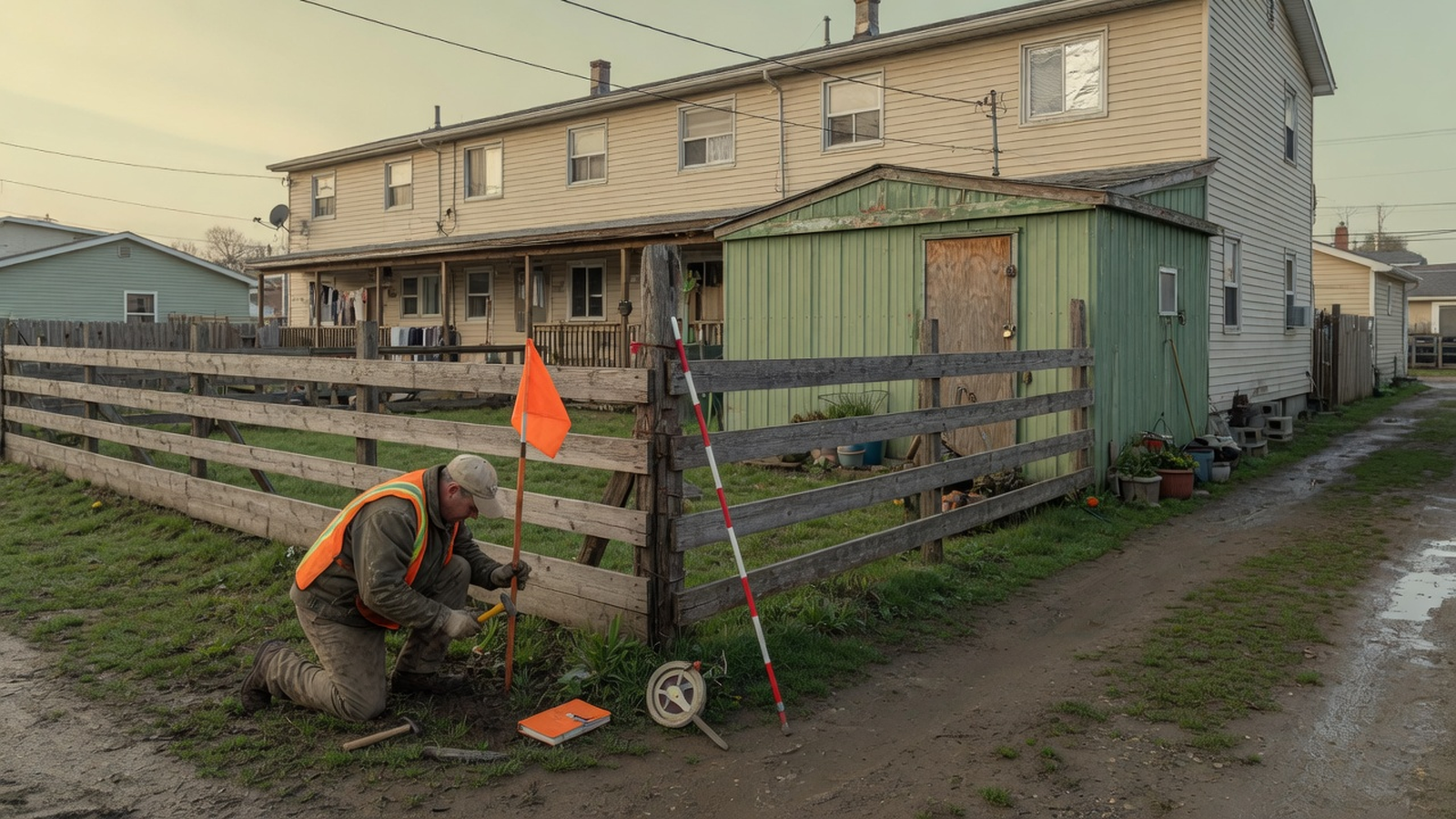
Use the same stack you used at the offer. The maximum offer guide is the screen. The full stack is purchase price, repairs, buying costs, selling costs, financing, holding costs, and the profit you required. Change only the lines the survey actually moved. If a garage must be cut back, repairs go up and the hold may go up. If the seller cuts the price, the price goes down and the buying-cost percentage moves a little. Leave after-repair value alone unless the finding changes the finished house a buyer or an appraiser will see.
Holding cost is a daily number once you know the month. If the monthly carry is $1,200 and you are using a 30-day month, the day is $40. Eighteen extra days are $720. The holding cost guide builds that month from interest, taxes, insurance, utilities, and care. This page only applies the month you already built. A survey fee you have already paid is a sunk buying cost. It is not a reason to accept a bad boundary, because the fee is gone either way. A survey fee you have not yet paid is a buying cost you can still compare with the profit.
Some findings are not a price cut. A shared driveway with no recorded easement can make the property unsaleable to the buyer you need, or uninsurable for title, no matter how large the discount. A building that crosses the line can require the neighbor's signature, not the seller's promise. If the cure depends on a person who is not in the contract, write "cure not in the seller's control" on the sheet and decide whether your contract lets you leave. The permit consequence of a setback problem belongs in the permits and inspections guide. The survey can show the line. The building official decides whether you may build.
6. Three buyers, three written decisions
These three buyers are original composites for teaching. The names, streets, prices, contract day counts outside the Texas form, survey fees, and outcomes are illustrative. They are not case studies, testimonials, or fee schedules. Each buyer writes the decision before the deadline. None of them treats a friendly conversation as a cure.
Maya Chen, a cash bungalow in Dayton
Maya is buying a 1925 bungalow at 14 Oakley Street in Dayton, Ohio. She is paying cash. The contract price is $142,000. Her after-repair value, from comps she already filed, is $245,000. Repairs are $48,000. Buying costs are 2 percent of the price, which is $2,840. Selling costs are 8 percent of the after-repair value, which is $19,600. She expects five months of holding cost at $1,200 a month, which is $6,000. There is no loan.
Calculation: $245,000 minus $142,000 is $103,000. Minus $48,000 is $55,000. Minus $2,840 is $52,160. Minus $19,600 is $32,560. Minus $6,000 is $26,560.
Her new boundary survey shows the neighbor's garage eave crossing her line by 0.8 feet along 22 feet. Her contract, a teaching assumption and not a quote from Ohio law, gives her 10 days after she has the survey, the title commitment, and the exception documents to object in writing. She does not treat the fence as the property line. She prices two facts she would have to buy if she closed on a handshake. Eighteen extra days of talk, at $6,000 divided by 150 days, is $40 a day, which is $720. A lawyer to read any license the neighbor might sign is a $3,000 allowance, because she will not close on a verbal promise. Together that is $3,720. She has already paid the surveyor $1,450. That fee is spent whether she waives or walks, so she leaves it out of the ask.
Decision: Maya sends a written objection inside the 10 days. She will accept a cure only if the eave is removed before closing, or a recorded document her lawyer reads allows it to stay, or the price drops by $3,720. A price of $138,280 restores the $26,560 if those two costs actually happen. Buying costs would also fall by 2 percent of $3,720, which is about $74. She does not negotiate the $74. If none of the three cures arrives in the form her contract requires, she terminates and follows the earnest-money clause. She does not waive to protect a $26,560 profit that depends on a neighbor who has not signed anything.
Luis Ortega, a hard-money duplex in Kansas City
Luis is buying a duplex at 214 Westover Lane in Kansas City, Missouri. The price is $215,000. After-repair value is $340,000. Repairs are $62,000. Buying costs at 2 percent are $4,300. Selling costs at 8 percent of $340,000 are $27,200. His teaching term sheet funds $150,500 at the purchase closing, which is 70 percent of the price. Rehab draws come later. Points are 2 percent of $150,500, which is $3,010. Another lender fee is $1,200. Interest at 12 percent a year on $150,500 is $1,505 a month. Taxes, insurance, and utilities are $640 a month. Monthly holding cost is $2,145. Six months of holding cost is $12,870. He compared the sheet with the hard money guide before he accepted it. The survey question is whether the boundary product matches that sheet.
Calculation: $340,000 minus $215,000 is $125,000. Minus $62,000 is $63,000. Minus $4,300 is $58,700. Minus $27,200 is $31,500. Minus $12,870 is $18,630. Points of $3,010 plus the $1,200 fee is $4,210. Minus $4,210 is $14,420. Monthly interest is $150,500 times 0.12, divided by 12, which is $1,505. Plus $640 is $2,145. Times 6 is $12,870.
The seller delivered a 2014 drawing. The face of that teaching sheet says it locates improvements for a loan and is not a boundary survey. The lender Luis accepted asks for an ALTA/NSPS land title survey. Because he would be ordering after February 23, 2026, he asks the surveyor, in writing, for the 2026 standards and for the Table A items the lender listed. The quote is $1,850, and the surveyor says the plat will not be in his hands for 16 calendar days. Closing is 21 days out. His contract, again a teaching assumption, starts the objection period when he has the commitment, the exception documents, and the survey, and the deadline is the earlier of closing or seven days after he has all three. If this new survey arrives on day 16, seven days later is after closing, so the deadline is closing. He would have about five days to read and object. That is tight. It is still an open right. The failure mode is treating the 2014 drawing as "the survey" so the seven days run, and expire, before the real sheet exists.
Decision: Luis writes to the seller and the closing office that the 2014 drawing is not the survey his objection clause is waiting for. He orders the 2026 survey the same day. He asks that the objection clock run from delivery of that survey. If the seller will not extend and the new survey cannot arrive before he would have to waive, he does not waive in the dark. A 14-day extension costs 14 divided by 30, times $2,145, which is $1,001. The survey fee of $1,850 plus that extension is $2,851, set against $14,420 of projected profit. He would rather spend that shape of money than waive a boundary he has not seen. If the extension is refused, he follows the contract's termination right if he has one, and he does not sign a waiver to keep a lender comfortable. A lender's willingness to fund on the old sketch answers the lender. It does not answer Luis.
Amina Diallo, a fourplex in Richmond
Amina is under contract on a fourplex at 17 Chapel Street in Richmond, Virginia. The price is $410,000. If the detached garage stays and the interior renovation is $70,000, her after-repair value is $560,000. Buying costs at 2 percent are $8,200. Selling costs at 8 percent of $560,000 are $44,800. Holding cost is $2,800 a month. Six months is $16,800. Her written flip target is $25,000 of profit. She might hold the building instead, which is why the survey's parking and area notes matter as much as the flip math. The hold-or-sell comparison itself is the sell, rent, or refinance guide. The monthly rental stack is the operating expense guide.
Calculation: $560,000 minus $410,000 is $150,000. Minus $70,000 is $80,000. Minus $8,200 is $71,800. Minus $44,800 is $27,000. Minus $16,800 is $10,200. The miss against a $25,000 target is $14,800. The survey did not create that miss. It stops her from papering over it with a parking story the ground does not support.
The survey reports 7,840 square feet of land. The listing said 0.21 acre. An acre is 43,560 square feet, so 0.21 acre is about 9,148 square feet. The survey area is about 0.180 acre. She uses 7,840 in every zoning question from this day forward. The drawing also shows the garage 2.1 feet into the side setback printed on the recorded plat. She does not read that line as a violation and she does not read it as permission. The 2026 standards allow a surveyor to show platted setback lines, and Table A item 20 can list a potential setback encroachment when that item is selected and the setback was provided. The standards say that table is not a legal opinion. She asks the building official, in writing, whether an interior renovation can proceed with the garage left as it is.
If the official says the garage must be cut back before a permit, she adds $8,500 of work and 21 days. Twenty-one divided by 30, times $2,800, is $1,960 of extra holding cost. Repairs become $78,500. Holding cost becomes $18,760. Profit becomes $560,000 minus $410,000 minus $78,500 minus $8,200 minus $44,800 minus $18,760, which is negative $260. The step check is $150,000 minus $78,500 is $71,500, minus $8,200 is $63,300, minus $44,800 is $18,500, minus $18,760 is negative $260.
Decision: Amina does not waive while the official's answer is missing. If the garage can stay, the flip still misses her target by $14,800. She asks for a price of $395,200, which is a $14,800 cut, and she ignores the small drop in the buying-cost percentage. If the garage must move, the ask has to cover the original miss plus $8,500 plus $1,960, which is $25,260, and a price of $384,740. If the seller refuses the ask that matches the official's answer, she walks. She also drops the two extra parking spaces she had sketched for a future rent bump. Four units at the rents already in the file can be underwritten. Parking that the survey does not show cannot. The scope she would bid, if she buys, is the scope of work guide, and it has to match the building official's answer, not the listing flyer.
7. Use a survey checklist without an account
Copy this list into the notes app you already use. Check each line against the sheet, the contract, or a written reply. An empty line is an open item.
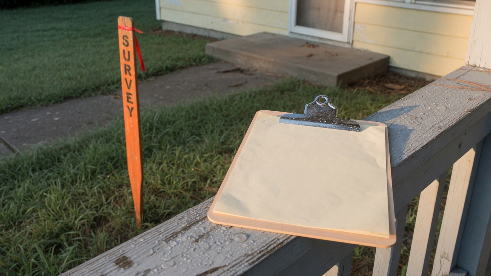
- The file names the product: ALTA/NSPS land title survey and year, boundary survey, or a sheet that says it is not a boundary survey.
- The certification, seal, license number, fieldwork date, and revision dates are readable. The year on the certification matches what the lender or the contract required.
- Table A items, if an ALTA/NSPS survey was ordered, match the written request. Negotiated wording is explained in a note.
- The legal description matches the contract and the title commitment. The parcel number is copied, and it is not used as a substitute for the description.
- You can point to the monuments, the scale, and the north arrow.
- Every building, fence, drive, eave, and overhang that crosses or touches a line is listed, with the dimension the surveyor printed.
- Each easement you care about has a recording reference, and you have opened that document. Blanket easements are labeled as blanket.
- Access from the improvements to a public street is either on the lot or on a recorded right. A neighbor's driveway is not assumed.
- Lot area on the survey has replaced the listing area. Any setback note cites its source. Any flood note has been checked at the FEMA Map Service Center.
- The objection date is on the calendar, measured the way the contract measures it, from the day you had the survey and the title papers the contract names.
- Any open finding is priced on the offer stack, or marked as a cure the seller cannot deliver alone.
- The written choice is in the file: waive, object, or order a survey you do not have yet. Silence is not one of the three.
If you cannot check a line, you are not required to waive in order to look cooperative. Ask for the page, order the right product, or send the objection the contract allows. A short delay has a holding cost you can compute. A waived encroachment can still be on the land when you sell.
8. Keep the survey on the property record
The survey is a project document, not an email attachment that expires with the thread. The day it arrives, put four facts on the property: the product name and certification year, the fieldwork or revision date, the objection deadline, and the dollar change if you priced one. The four-stage pipeline should show the survey as an open task until that written choice exists. A task called "survey ordered" is not a waiver.
A model can file the PDF into the folder you already named, copy the certification date, and list the notes you highlighted. Show the source sheet next to the summary. If the summary and the sheet disagree, the sheet wins until the surveyor revises it in writing. A person accepts the waive, object, or reorder decision. That review does not depend on which provider drafted the summary. The AI underwriting guide and the AI disclosure state the same limit: a draft is not a decision.
Rehabfolio can hold the survey file, the objection date, the survey fee, and the revised price or repair number on the property. The property research page is where the public facts and the file sit together. The deal analysis page is where the revised stack meets the offer. The fix-and-flip workflow is the path from that decision into the rehab. The project management page is the task list if you buy. None of those pages locates a corner, interprets an easement, or sends the objection for you.
If you buy, the same PDF goes to the permit set when the city asks for it, and later to the sale file. The pre-listing checklist is where a buyer of the renovated house will ask what you knew. A survey you waived without reading is a document you still have to disclose if the law or the form requires known facts. Reading it now is cheaper than explaining it then.
9. Avoid the waivers that happen by silence
- Letting an old sketch start the clock. If the contract starts the objection period when "the survey" arrives, define which survey. A 2014 loan sketch with a sentence that it is not a boundary survey should not be the document that spends your days.
- Checking the buyer-orders box and ordering nothing. On Texas form 20-19, the buyer can be deemed to have received the survey on the contract date, and can lose a financing-addendum termination that depended on the survey. Other forms have their own version of deemed delivery. Read the sentence before you rely on a survey you never bought.
- Objecting once and then going quiet. On the Texas form, a timely objection still has a second decision after the 15-day cure period. Five silent days is a waiver. Put the second date on the calendar the day you send the first letter.
- Using the precision allowance to excuse an encroachment. The 0.07-foot-plus-50-parts-per-million figure is about measurement quality. A note that an eave crosses by most of a foot is a boundary fact. Ask the surveyor if you do not understand the note. Do not erase it with the precision sentence.
- Treating the surveyor as the zoning department. A platted setback on the drawing is a record line. Whether you may renovate, keep a garage, or add parking is a question for the official who issues the permit. Get that answer in writing before you waive a survey objection that was really a zoning objection.
- Pricing the lot from the listing acreage. Replace the listing area with the survey area the day the sheet arrives. Coverage, parking, and a future split all use the surveyed number.
- Spending a sunk survey fee as a reason to close. The fee is gone if you walk and gone if you buy. The encroachment is not gone if you waive. Compare the open problem with the remaining profit, not with the invoice you already paid.
None of these require a careless surveyor. They require an ordinary week in which the fastest path is to say the survey "came back fine." The checklist is the slower path on purpose.
Frequently asked questions
What is a property survey on a house flip?
A property survey is a licensed surveyor's measured drawing of the land you are buying, tied to the description in the deed or the contract, showing what the surveyor found on the ground. On a flip, you read it before you give up a contractual right to object to survey matters. It is a different product from a home inspection, an appraisal, a tax map, and a zoning approval.
Is an ALTA/NSPS land title survey the same thing as a mortgage inspection?
No. Under the 2026 Minimum Standard Detail Requirements, a complete ALTA/NSPS land title survey includes the fieldwork, a plat or map tied to the title documents, any optional Table A items the client requested, and the certification in the standards. A sheet that calls itself a mortgage inspection, a location drawing, or an improvement sketch is a different product until a surveyor licensed where the property sits certifies it to a boundary or land-title standard. Read the title block, the certification, and the seal. State and local surveying rules still apply, and the standards say the more stringent rule controls when they conflict.
Does a flood map or an elevation certificate replace a boundary survey?
No. The FEMA Flood Map Service Center is the official place for National Flood Insurance Program flood maps. FEMA describes high-risk areas as places with at least a 1 percent chance of flooding in a given year, which is at least a one-in-four chance over a 30-year mortgage. That map does not locate your corners. An elevation certificate, when someone orders one, is about the building's first floor height and the nearby ground for flood insurance and floodplain rules. FEMA's public fact sheet, updated January 21, 2025, calls that certificate an optional program tool and marks the page as archived, so confirm the current insurance use with the insurer. Order boundary work for corners, encroachments, and easements. Order elevation work when the floodplain administrator, the lender, or the insurer asks for height.
What should you read on the survey before you waive?
Read the certification and its date, the surveyor's name and license, and whether the sheet cites the standard your lender or contract required. Match the legal description to the contract. Then read the scale, the monuments, the improvements against the boundary, the easements and their recording numbers, any encroachment or possession notes, how the lot reaches a public street, and any setback or flood note together with its source. Write one decision: waive, object in the way the contract requires, or order a product you do not have yet.
What happens if you miss the survey objection deadline?
The contract you signed answers that, and contracts differ. On the Texas Real Estate Commission One to Four Family Residential Contract (Resale), form 20-19, effective July 1, 2026, the buyer must object by the earlier of the closing date or the number of days written in the form after the buyer receives the title commitment, the exception documents, and the survey. The form says failure to object within that time is a waiver of the buyer's right to object, except that Schedule C requirements in the commitment are not waived. If the buyer does object and the seller does not cure, the form gives five days after the cure period to terminate or waive, and silence in that second window is also a waiver. Those day counts are Texas form language. Do not copy them into a contract that uses different words. If your form has no survey clause, ask the closing attorney or the broker what writing, if any, preserves an objection.
Who pays for a new survey, and how should the fee change the offer?
The contract decides who pays. On Texas form 20-19, the parties check one of three survey choices: the seller furnishes an existing survey plus a T-47 affidavit or T-47.1 declaration, the buyer may obtain a new survey at the buyer's expense, or the seller furnishes a new survey at the seller's expense. If the seller on the first choice misses both the survey and the affidavit or declaration, the form says the buyer obtains a new survey at the seller's expense. If the title company or the buyer's lender rejects the existing survey, the checked box says who pays for the replacement. The ALTA/NSPS standards say the client must provide written authority from the person paying, and that the title insurer is not responsible for the survey cost unless the insurer authorizes that in writing. Put the fee on the deal sheet as a buying cost. A fee you have already paid is not a reason to waive a boundary problem. Compare any extra days of delay with your monthly holding cost.
Can software read the survey and decide whether to waive?
Software can store the PDF, copy the certification date, and list notes you highlight. It cannot establish a boundary, waive a contract right, or decide that an encroachment is harmless. If a draft summary and the sheet disagree, the sheet wins until the surveyor revises the sheet in writing. A person makes the objection decision. The same limit is in the AI underwriting guide and the AI disclosure: a draft is not a decision.
Editorial methodology, limitations, and sources
The Rehabfolio editorial team wrote this as the survey-reading page for a house flip. It does not replace the due diligence guide, the earnest money guide, the buyer closing guide, the permits guide, the holding cost guide, or the insurance guide. Those pages remain the homes for the full inspection window, the deposit, the purchase day, the permit path, the carry, and the policy. This article answers a different question: what a buyer should be able to prove from the survey before waiving the right to object.
Key public sources include the 2026 Minimum Standard Detail Requirements for ALTA/NSPS Land Title Surveys, effective February 23, 2026, in the official PDF hosted by the National Society of Professional Surveyors (2026 standards PDF). The NSPS page that publishes that PDF and the transition note for contracts signed before the effective date is NSPS, 2021 and 2026 ALTA/NSPS standards. The purpose section, the four parts of a complete survey, the certification, the 2 centimeter plus 50 parts per million precision allowance, Table A including item 20, and the rule that the stricter jurisdictional standard controls are taken from that PDF. The standards were adopted by ALTA on October 8, 2025 and by NSPS on October 17, 2025.
The Texas example is the Texas Real Estate Commission One to Four Family Residential Contract (Resale), form 20-19, effective July 1, 2026. The survey options in paragraph 6C and the objection, cure, and waiver language in paragraph 6D are taken from the promulgated PDF at TREC No. 20-19. That form is one state's resale contract. It is not the law of any other state, and TREC says the form is for trained license holders and is not a representation about a specific transaction.
Flood maps are described from FEMA's flood maps page, including the statement that the Flood Map Service Center is the official location for National Flood Insurance Program flood hazard maps, and the description of high-risk areas as at least a 1 percent annual chance, or at least a one-in-four chance over a 30-year mortgage. The elevation-certificate distinction uses FEMA's Understanding Elevation Certificates fact sheet, updated January 21, 2025, which FEMA marks as archived. Confirm current insurance and construction requirements with the insurer and the local floodplain administrator.
Public guidance cannot tell you whether to waive, whether a particular fence is an encroachment under your state's law, or whether a city will issue a permit. Examples are original composites created for teaching. Names, street addresses, prices, day counts that are not quoted from form 20-19, and outcomes are illustrative. They are not case studies of real customers. Dollar figures are educational, not quotes and not surveys of local fees.
Editorial standard. We identify the audience, the author, the review date, the topic boundary, the assumptions, and the product limit. We do not invent credentials, licenses, testimonials, market statistics, or guaranteed results. AI may help organize research and draft, and a person reviews the claims, the links, the examples, and the limitations before publication. We revise the guide when a cited public page or a material product workflow changes. See the editorial methodology on the company page.
Keep the survey, the deadline, and the revised number together.
Use a workspace for the PDF, the objection date, and the price or repair change. You still send the objection, or the waiver, yourself.
Create free account